DTS’ wholly owned Spectrum Point Cloud and Modelling service was introduced in 2018, pioneering the way survey data is captured and analysed.
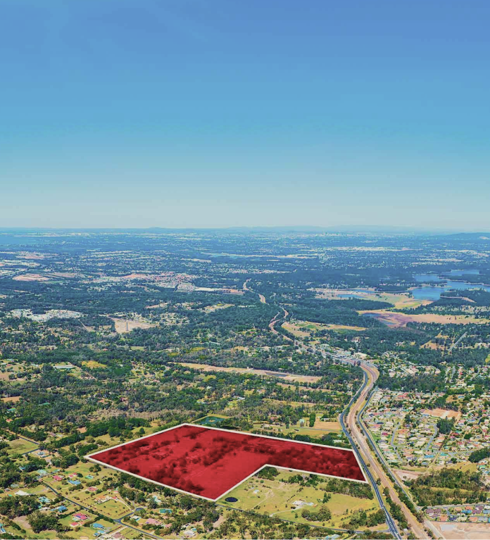
Our team of dedicated geospatial and data specialists work alongside our surveying and planning teams to create 3D models for entire greenfield sites, built environments, and infrastructure.
Using our signature methodology and advanced 3D scanning technology, the data is transformed into precise, verified models of land and built environments, with highly skilled interpretation of the models for clients to deliver more informed decision making and risk mitigation.
DTS’ point cloud capture and data modelling solutions provide:
- High accuracy (sub 5mm)
- High speed (1m+ points per second)
- High redundancy
To discover how these solutions can help projects, visit the Spectrum Point Cloud and Modelling website:

- Surface extraction
- Structural detailing
- MEP networks
- Revit output in native families
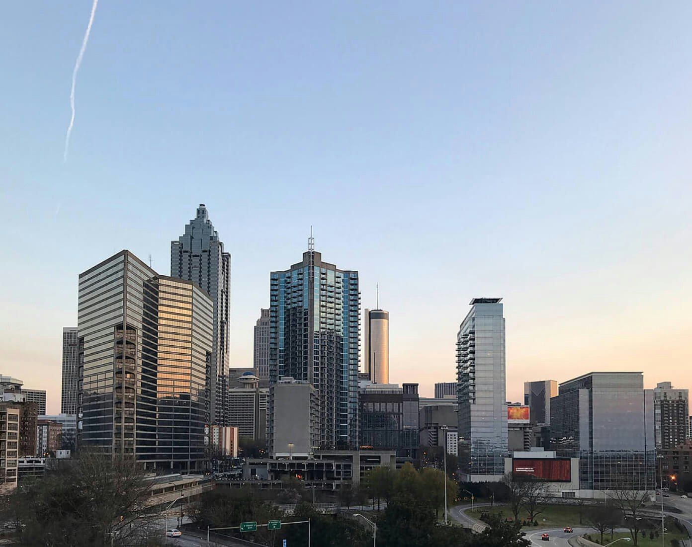
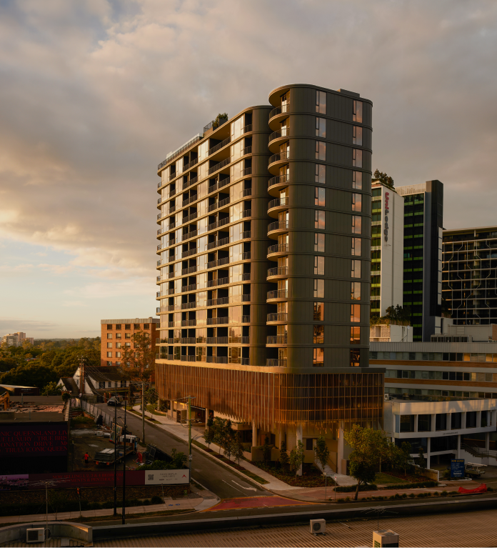
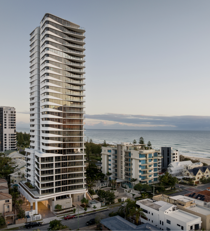
- Multi-residential development
- Land subdivisions
- Master planned communities
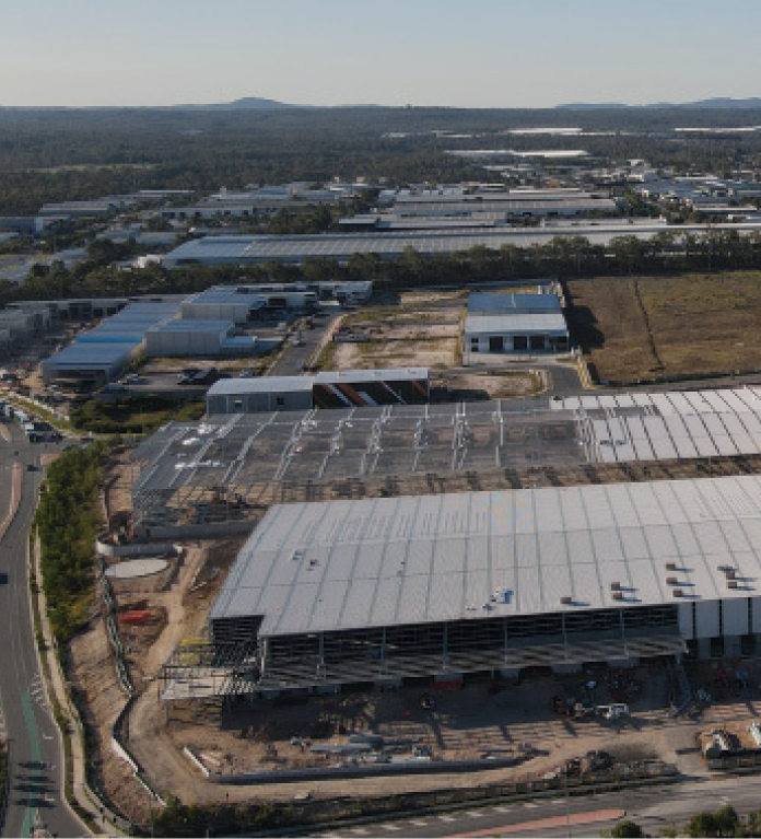
- Industrial development
- Commercial development
- Mixed use development
- Public sector
- Airports
- Utilities
- Resources and energy
- Agriculture.
Get in touch
Contact Us
