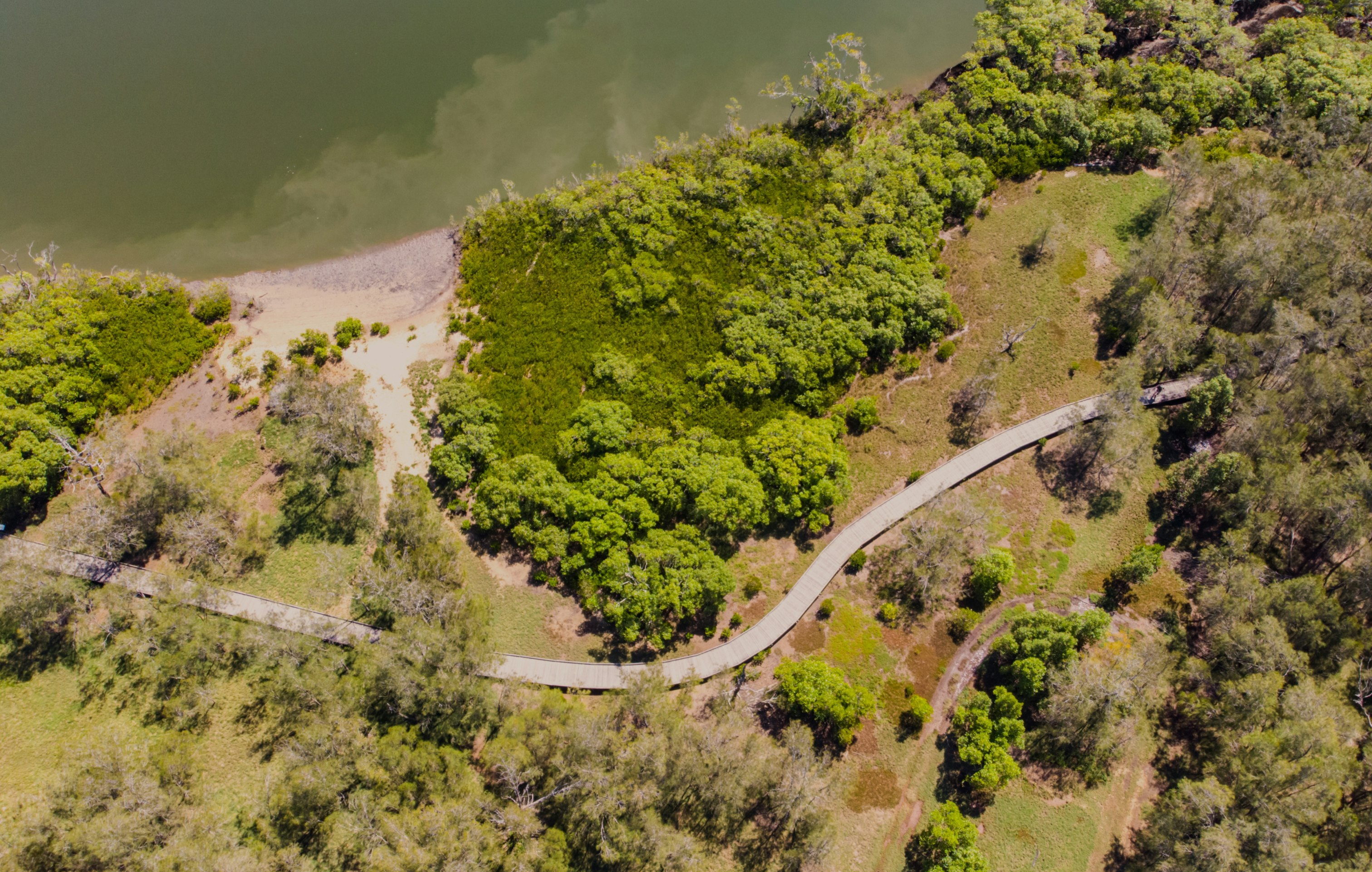
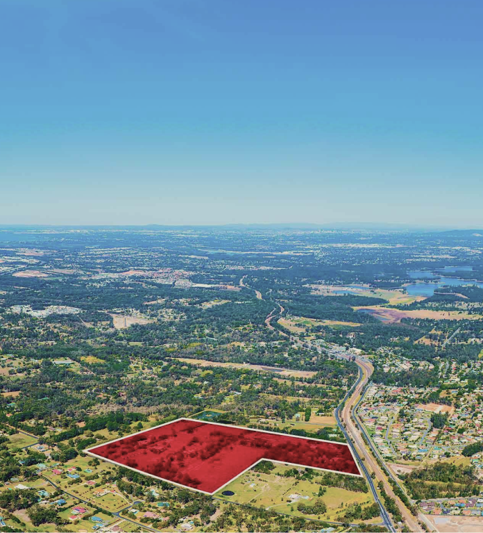
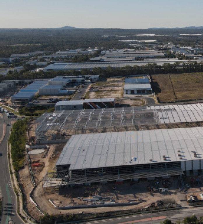
From development and infrastructure to resources and energy, DTS’ surveying team applies advanced methodologies, spatial 3D technology, and aerial mapping to minimise project risk and maximise opportunities.
DTS’ surveying team is ranked in the top 5% of registered cadastral surveyors by the Surveyors Board of Queensland.

DTS’ titling solutions are delivered with leading technology and in-depth understandings of local regulations, ensuring accurately defined cadastral boundaries and seamless titling processes.

DTS’ on-staff CASA-licensed RPSA drone pilots support the delivery of detailed aerial mapping and modelling. The team provides ongoing vegetation rehabilitation, geographic information systems, civil design and earthworks, route selection and analysis, as well as solutions for mining and agriculture operators.
DTS’ wholly owned spatial data service, Spectrum Point Cloud and Modelling, was introduced in 2018. Our on-staff geospatial specialists work closely with our surveying and planning teams, and have pioneered the way survey data is captured, analysed, validated, and interpreted for developers, asset owners, and operators.


Development & infrastructure
- Control of earthworks and machine guidance systems
- As constructed surveys for all municipalities
- Comprehensive digital terrain modelling
- Monitoring of structures, movement, and subsidence
- Set-out or high-rise building projects
- Set-out for pipeline alignments
- Set-out for major road alignments
- Aerial mapping, surveying, and modelling.
Individual lots & homes
- Amalgamation of land parcels
- Boundary identification
- Subdivision of land
- Lease surveys
- Long line easements
- Location ‘conveyancing’ certificates
- Creation of Easements
- Building format plans and exclusive use plans for unit developments
- Volumetric subdivision of land or buildings
- Property Data searching
- Disclosure plans
- Multi-residential development
- Land subdivisions
- Master planned communities
- Industrial development
- Commercial development
- Mixed use development
- Public sector
- Airports
- Utilities
- Resources and energy
- Agriculture.
Get in touch
Contact Us


